
Managing faults and field teams
A utility needs to link incidents to assets and locations. We map faults and their status and connect them to work orders and teams, helping managers allocate visits and track completion by location.
Data Intelligence and Automation
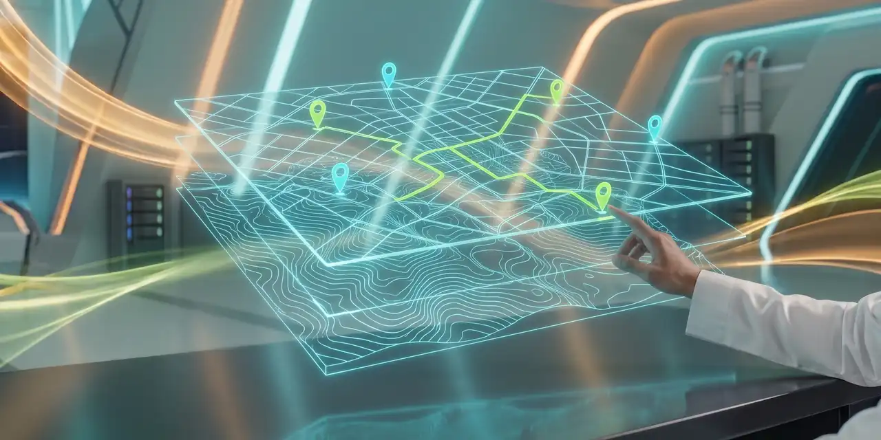
GRAVON delivers Geographic Information Systems (GIS) and Location Intelligence solutions that transform maps into operational and analytical tools. Our approach integrates spatial information with ERP, dashboards, and operational data to support asset management, field operations, planning, and informed decision-making.
These scenarios illustrate solutions that can be tailored to client data and the agreed scope.
A utility needs to link incidents to assets and locations. We map faults and their status and connect them to work orders and teams, helping managers allocate visits and track completion by location.
A multi-branch company needs to understand customer and service distribution. We connect sales to locations and analyse coverage and demand areas, documenting location-data quality and analytical limits.
Geospatial database, interactive map, asset and incident layers, integrations and geographical reports.
Asset-location completeness, incident response travel time and field-status freshness. Targets are agreed after measuring the baseline.
Start a conversation with the GRAVON team to understand where your organisation stands and decide the next step.